The aircraft should already be there.
Everything on this site is about the minutes between ignition and alert. Most of those minutes are spent driving to a trailhead. CAIRN is a sealed nest that sits on the hill through the winter and launches on a trigger, with no crew at the road end and no aircraft in the back of a van.
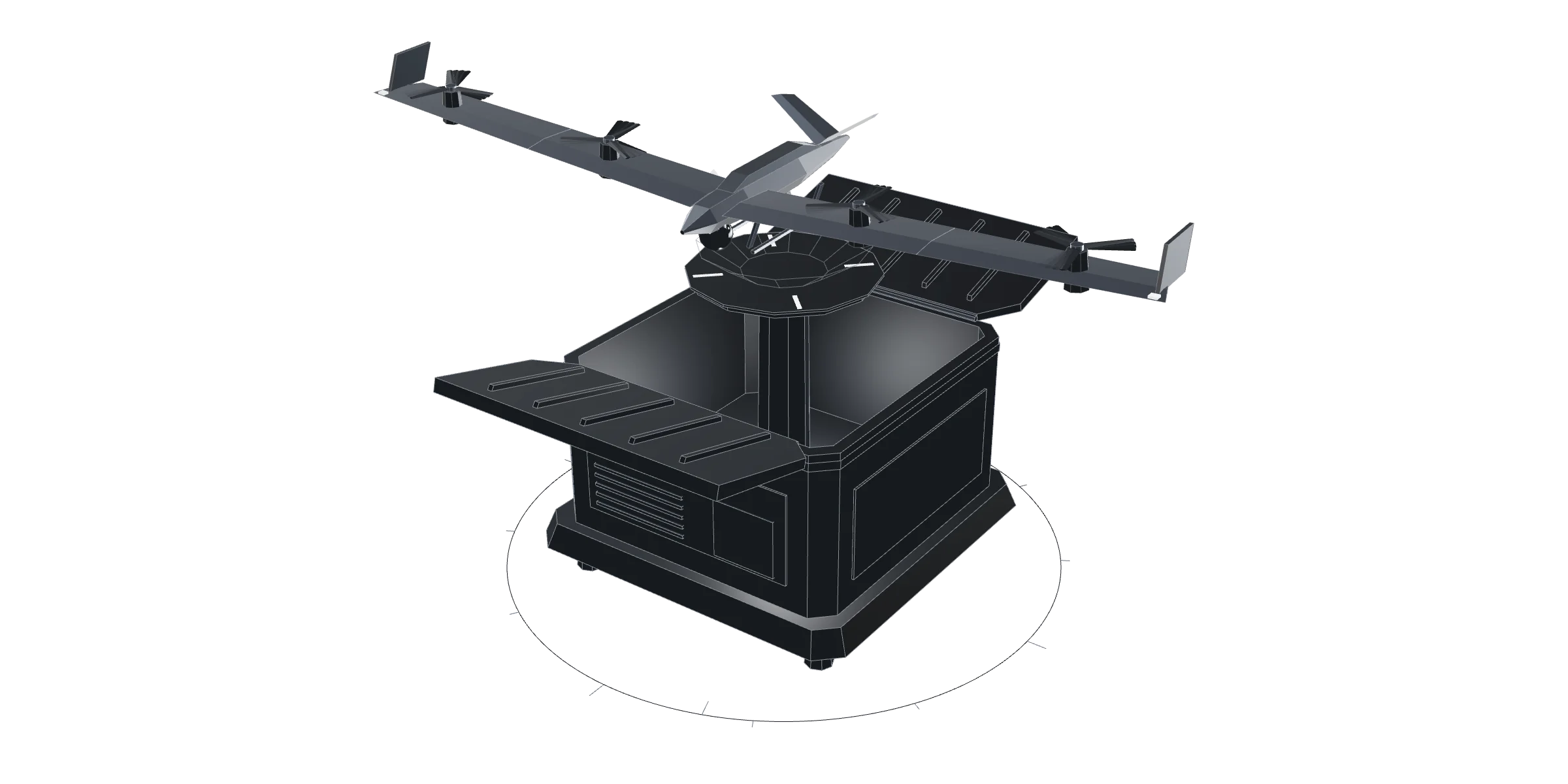
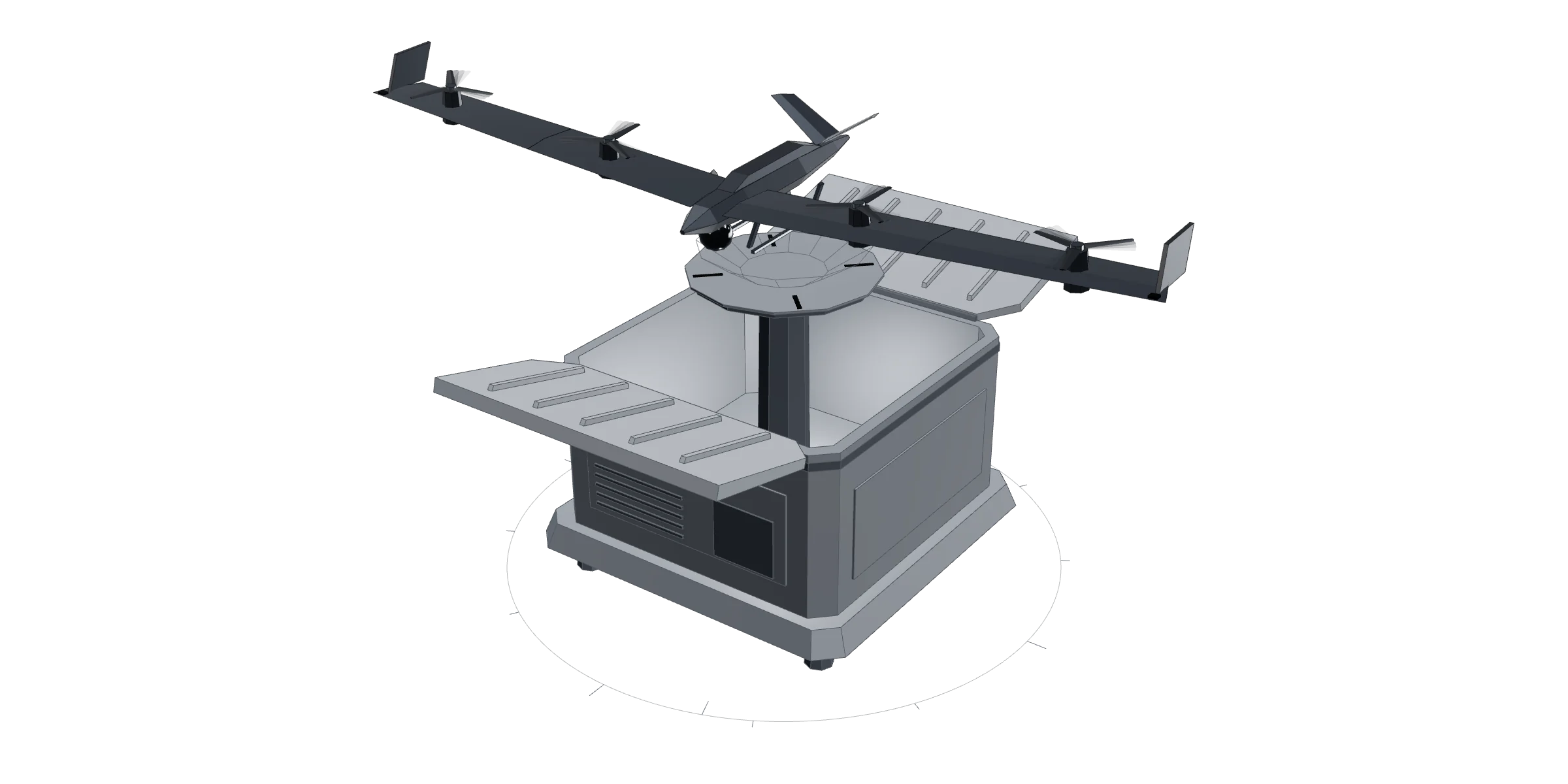
CAIRN is a concept study. There is no CAD behind it yet and nothing here has been built or flown. The model above is a procedural sketch of the sequence, not a render of hardware. It is published because the mechanism is the argument, not because the box exists.
Drag to turn the modelDEPLOYMENT SEQUENCE
- 01SEALEDWeathertight through a Highland winter. Charge maintained, filter heated, the seam is the only tell that it opens at all.
- 02ARMEDA trigger is accepted: a satellite thermal hit, a ground sensor, or an operator. Lid latches release.
- 03OPENThe clamshell halves counter-rotate clear of the aperture, so nothing overhangs the flight path.
- 04RAISEThe pad lifts the aircraft above the rim and out of the shell's own turbulence.
- 05UNFOLDThe wing opens in two beats: inner panels sweep out of stow, then the outer panels fold down and lock. One hinge is not enough: swept back along the fuselage, a 1.2 m half-span still overhangs the shell. Two hinges are what let a 2.4 m span live in a 0.9 m box.
- 06LAUNCHVertical climb-out, transition to wing-borne cruise, and the nest closes behind it.
CONCEPT TARGETS
WHY A NEST CHANGES THE ARGUMENT
An aircraft that needs a pilot at the trailhead is a service. An aircraft that lives on the hill is infrastructure, and infrastructure is what actually closes the gap this company exists to close.
The docked-drone category already exists for scheduled inspection: fly the same asset, the same route, every morning. The case that matters here is a nest that sits idle for weeks and answers a detection within a minute of it firing. Dryad has demonstrated a hangar drone that launches itself on an alert from its own sensor mesh; doing it on any trigger, through an upland winter, in wind the docked quadcopters do not launch in, is the part still to be shown.
It also changes the unit of sale. A nest covers a catchment, not a flight, and a catchment is a number: at the design cruise and energy budget of the aircraft we have actually flown in simulation, one nest holds about 2,700 hectares inside a five-minute confirmation, and about 12,500 at the point where the disc stops growing because the aircraft still has to come home. One operator can hold a region instead of a site.
The same arithmetic is the honest case for a wing. In a 12 m/s headwind, which is where the whole docked-quadcopter category stops launching, that quad holds about 800 hectares: it can barely make ground upwind. CAIRN is specified around a folding wing rather than a quad precisely so that number survives the weather, and the wing is the part that is not specified yet.
A concept study of the launch phase: a survey quadcopter lifting clear of the ground and settling into forward flight, rendered before it exists.
WHAT ELSE COULD WATCH THIS HILL
A nest is not the only way to find a fire early, and the alternatives are not strawmen. Most of them are fielded, funded and working today. Each one is very good at something and stops at one thing. The pattern across them is the argument for CAIRN.
A CAMERA TOWER
IQ FireWatch, Pano AI, ALERTCalifornia
Watches a whole slope continuously for about $50,000 a station a year, and it works: 1,200 cameras in California beat the first emergency call in 38% of 1,668 fires in one season.
It sees a plume and stops. Every alert ends with a person deciding from an oblique image kilometres away, and Brandenburg's 109-tower network, running since 1999, finds about six fires in ten, missing most of the rest after dark.
A SATELLITE
Copernicus EFFIS and FIRMS, FireSat, OroraTech
Covers everywhere at once and costs the public nothing at the European baseline. FireSat resolves a 5 m fire and, with its full constellation due in 2030, will revisit every 20 minutes.
It is not overhead when you need it. The EU baseline is 375 m to 1 km pixels, about six passes a day, two to three hours after acquisition, and the new constellations are twice daily today. A fire on a Scottish hill is an hour old before the pixel exists.
A SENSOR MESH
Dryad Silvanet and Silvaguard
Smells a fire under the canopy before there is anything to see, which nothing optical can do. Thirty thousand sensors are in the ground, and in its own 2025 demonstration the mesh detected a fire in three minutes and a drone launched itself from a solar hangar to find it, with no human involved.
It only covers the ground it is planted on, at roughly one sensor for every one to ten hectares, and the smoke still has to reach a node before its drone is sent. Dryad publishes no temperature range or ingress rating for the hangar.
A DOCKED QUADCOPTER
DJI Dock 3, Skydio, Dronehub
The honest answer to most of this. Airborne in about twenty seconds, sealed to IP56, from $15,890, and already flying: one European deployment watches 27,000 hectares of pine this way.
Wind and winter. The category launches up to 12 m/s and no further, and publishes no active de-icing for the aircraft itself; the vendors themselves name propeller icing and cold-soak as the winter failure modes. Scottish uplands exceed 12 m/s routinely.
A TETHERED MAST
Elistair Khronos and similar
Stays up for twenty-four hours with no endurance limit and no launch decision to get wrong. For one high-value point, it is cheaper and simpler than anything else here.
It cannot go and look. It watches the point it is tied to, which is the wrong shape for a catchment.
CREWED AIRCRAFT
The national and regional air fleets
Once it arrives it can do everything, including put water on the fire. This is where the money in this field actually goes.
It cannot be waiting. In 2025 Greece awarded €154.8M for 25 Fire Boss amphibians, and the European reserve is €600M for twelve aircraft with no uncrewed line at all. Nothing in that fleet is loitering over your hill at two in the morning in April.
CAIRN AND NIGHTJAR
What we are building, and where it honestly is
The step most of the rows above leave to a person. A nest takes a trigger from any of them, arrives over the coordinates with radiometric thermal, and returns a geolocated fix instead of a picture to squint at. One nest holds roughly 2,700 hectares inside a five-minute confirmation and about 12,500 at its energy ceiling. The Slovak dock deployment flies a 2 to 3 km radius in practice, 1,300 to 2,800 hectares; DJI rates its current Dock 3 to 10 km, in still air at 25 °C. A folding wing rather than a quad is the part that is meant to hold in the wind, and a sealed nest rather than a crew at the trailhead is the part that is meant to hold through the winter.
It has not flown. Every figure on this site is a simulation and this page has said so from the day it was published. Trigger to wheels-up is a 90 second target, which is slower than a dock that lifts a quad off a pad in twenty, because a 2.4 m wing has to unfold first; the wing is what buys the range and the wind, and the ninety seconds is what it costs. The winter envelope is a target and not yet a measurement.
Figures are each system's own published specification or a measured public result, read September 2026.
WHAT WAKES IT
A nest that only flies when it is told has to be told fast, and a promise of a confirmed picture inside five minutes is not five minutes of flying. The feed spends its own time deciding there is a fire. The nest spends ninety seconds waking and launching. What is left is the flight, and against half the feeds below there is nothing left at all.
A CAMERA AI
exci, over 1,000 cameras
60 s
1,390 ha. The longest flight any trigger on this list leaves.
A NATIONAL DETECTION NETWORK
Türkiye OGM, national average
2 min
500 ha. Ninety seconds of flying, if the national average holds on your hill.
A SENSOR MESH
Dryad Silvanet
3 min
60 ha. Thirty seconds of flying: the fire has to be almost under the nest already.
A TOWER SCAN
IQ FireWatch
6 min
Nothing. The promise is gone before the aircraft is awake.
DIRECT SATELLITE READOUT
The Swedish national service, VIIRS
17 min
Nothing here. It starts to be worth taking at a thirty-minute promise.
THE PUBLIC SATELLITE FEED
Copernicus EFFIS and NASA FIRMS
3 h
Nothing at any promise on this page.
So the only trigger that keeps a five-minute promise is the nest's own patrol, and that is the thing to buy a nest for. It will take any of the others and it should: a satellite or a sensor mesh is how you decide which valley to look at, and that is worth having. It is not how you keep the clock, and a page that let you think otherwise would be selling somebody else's latency as ours.
Latencies are each vendor's, operator's or national service's own published figure, read September 2026. The hectares are derived in drone/analysis/triggers.py from the same 90 s wake target and 14 m/s cruise as the catchment above, and they are upper bounds: the search a 375 m satellite pixel would need is not costed.